infill
(Remains of the first era of landscape alteration)
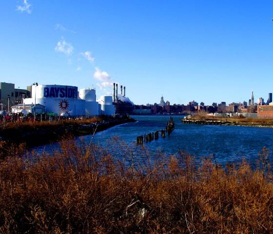
The Bushwick Creek, once fed from either spring water running off a kame (?) or some other inland source of a glacially-influenced water source, running west to the east River. Now, surrounded on all sides: Bayside Oil to the south and an abandoned warehouse to the north, infill and the merging of Franklin St. into Kent Ave.;
a lingering static element at the Greenpoint/Williamsburg border. Hopefully, a breakfast nook for crabs.
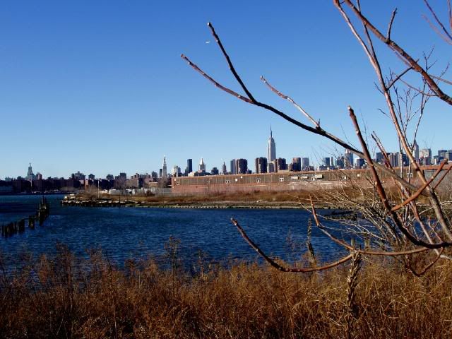
Labels: photo-series
posted by rada at 1:40 PM
![]()
![]()


0 Comments:
Post a Comment
<< Home